Historical Territorial Outline Zoning Plan (OZP) Database
By Kenneth Wong in Urban Planning Support Tools Web Application
June 1, 2022

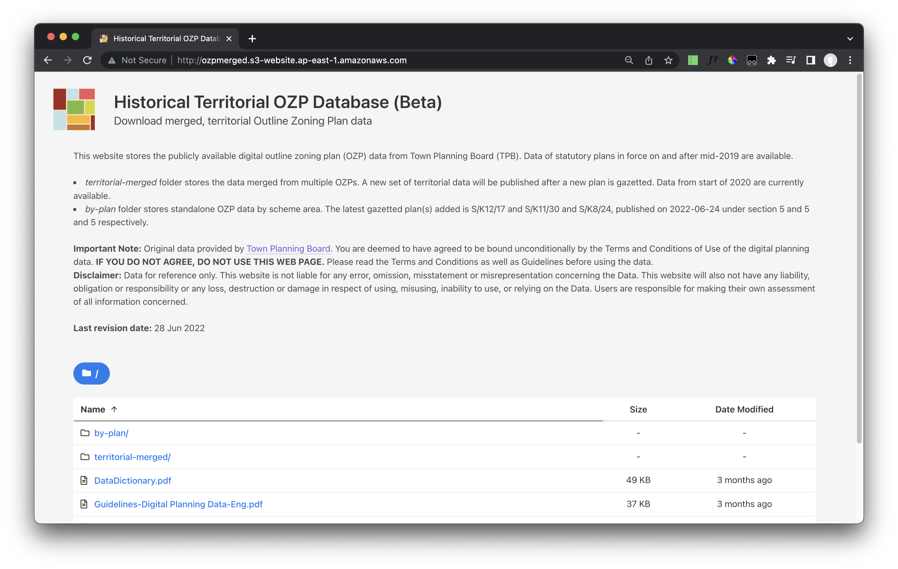
Database Homepage
A database for everyone to download territorial, anaylsis-ready land use zoning data of Hong Kong
Unlike discretionary zoning system implemented in UK, Hong Kong urban planning regulation system is in the form of regulatory zoning systems - lands are zoned into various land uses (Residential, Industrial, Commercial, Open Space, etc.) and gazetted in statutory plans named Outline Zoning Plans (OZPs).
While the Planning Department provides digital planning data, there are no quick and efficient ways to download the territorial dataset. I have been looking into ways to unify and standardise the data. Historical Territorial OZP Database is my attempt to create a clean interface to store zoning data.
The website allows users to:
- Browse and download historical (& latest) OZPs
- Download territorial, analysis-ready zoning data
- Conduct analysis immediately with additional fields of zoning data
- Download spatial data in various data formats
Features available in the website are documented in this introduction blog.
This database is backed by an automated extract, transform and load (ETL) pipeline using AWS and R. When a new zoning plan is gazetted, the computer will automatically update the database and website by conducting following tasks:
- Record the information of the new OZPs
- Download the data from government website
- Add new fields and attributes for easier analysis and mapping
- Create a new set of territorial zoning plan
- Export and distribute the new OZPs and curated data to specific folders
- Update the webpage & database

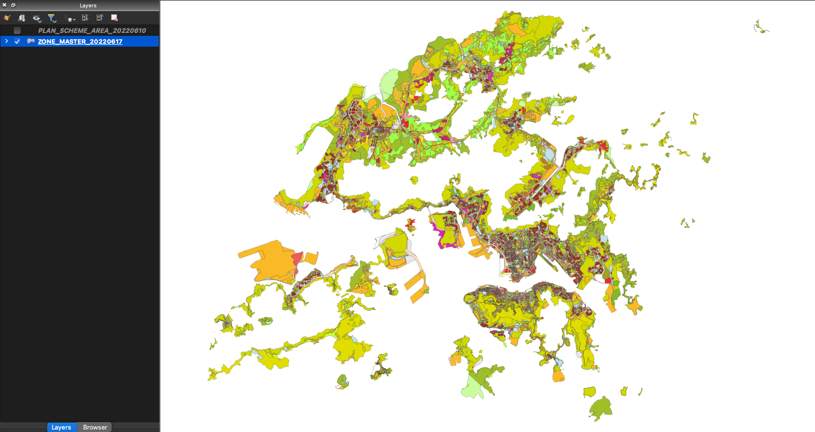
Territorial land use zoning data

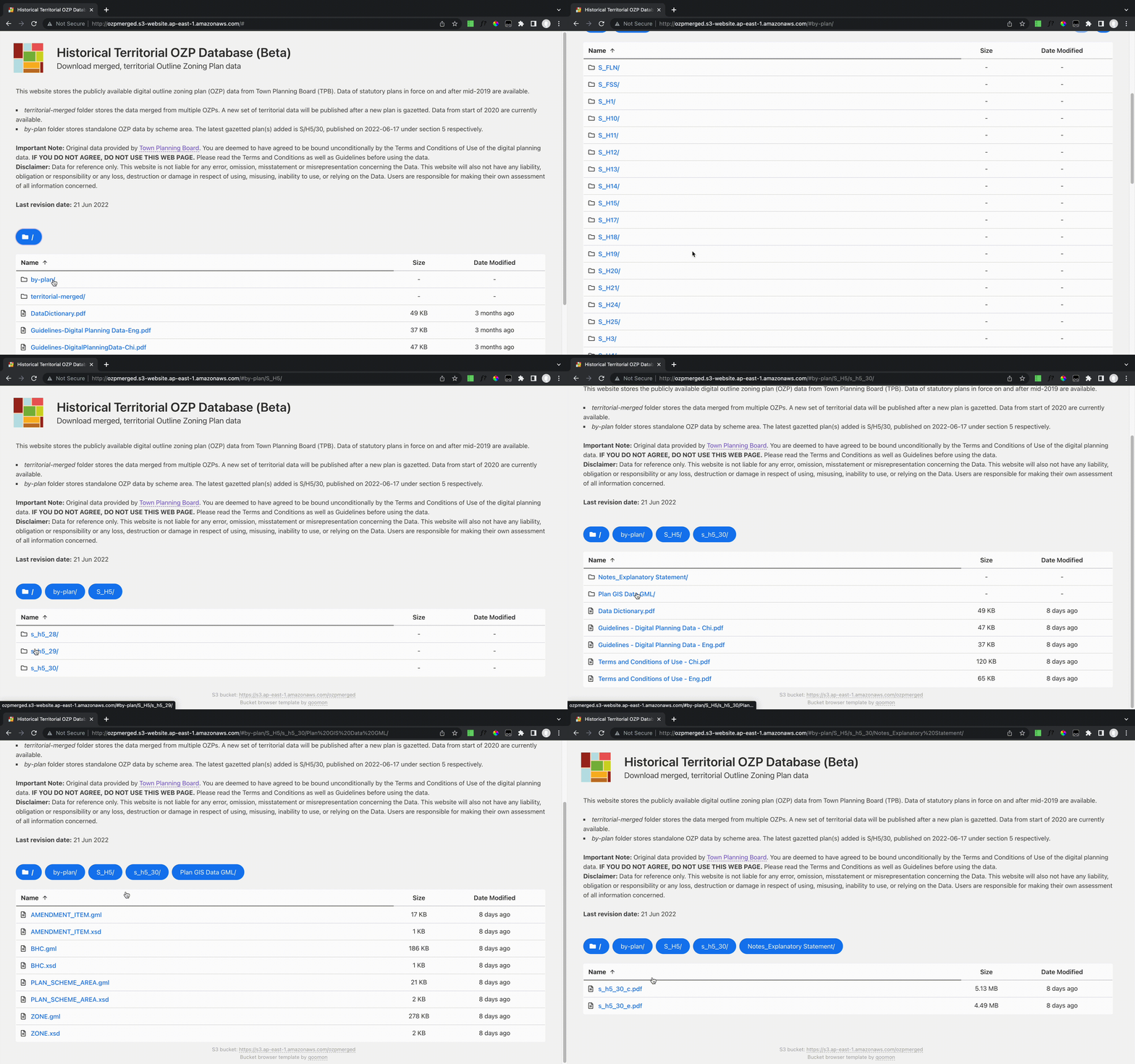
Browsing and getting the historical zoning data of a scheme area

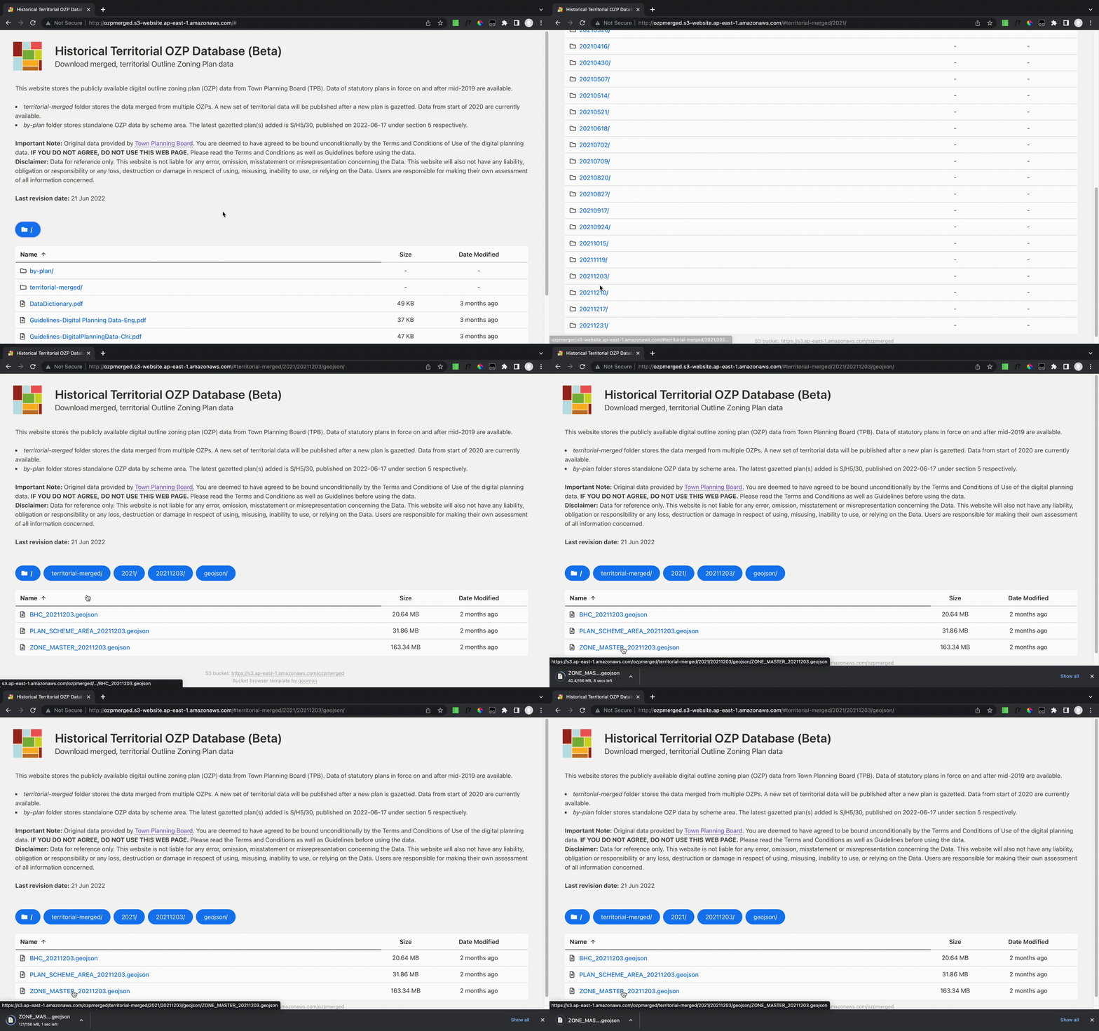
Getting the territorial land use zoning data on a specific date
- Posted on:
- June 1, 2022
- Length:
- 2 minute read, 266 words
- Categories:
- Urban Planning Support Tools Web Application
- Tags:
- hugo-site